

Mapping Self in Society (MaSelfS)
ROLE
RESEARCHER
INSTRUCTOR
TIMELINE
16 WEEKS
YEAR
SPRING 2021
TEAM
BEN RYDAL SHAPIRO
ROGERS HALL
EMMA VENDETTA REIMERS
NATATLIE ROBBINS
STEVE WERNKE
AMANDA MENG
SIERRA GILLIAM
SACHIN BANGALORE
CODY O’DONNELL
BIANCA DANKWA
EDWIN ZHAO
CHARLOTTE LOU
MaSelfS is a collaboration between researchers and teachers at Georgia State University and Vanderbilt University and is generously supported by the Spencer Foundation and the National Science Foundation. We welcome other collaborators interested in expanding either this framework or other efforts to teach and conduct research related to personal geography and critical spatial inquiry.
Problem Space
Mapping has become a regular part of our lives. We route ourselves to and from work with Google Maps, around traffic with Waze, and can even receive directions on our wrist thanks to the Apple Watch and Apple Maps pairing. With all of this distant data about our spatial surroundings, it is necessary to (as Rogers Hall says) “fish in our own exhaust”—that is, explore our mobility data for ourselves rather than leaving that wealth to the large companies that scrape and use such data with our permission but often without our maintained awareness.
New tech, new tools, and new teaching approaches are needed for this novel experience of knowing where we are in the world.
Research Questions
How can we design a collaborative, adaptive tool that enables people to capture, view, and analyze their mobility data related to larger societal datasets about race, gender, and the built environment amongst many others?
How can we teach this data story approach to instructors and to students so that the barrier to entry with this technology is as low as possible?
Our project leads, Dr. Ben Rydal Shapiro at Georgia Tech and Dr. Rogers Hall at Vanderbilt, were eager to leverage Shapiro’s existing (amazing) software called the Interaction Geography Slicer (IGS) for projects where many persons (students, in this case) could view their mobility traces in 3D related to a geographic data base layer.
Dr. Natalie Robbins and Dr. Steve Wernke collected and instituted our base layer datasets. Many members of our project team were graduate students testing the application with their own data and developing example use cases for the MaSelfS website and future users.
I assisted in teaching the class at Vanderbilt where this technology and accompanying instructional approach was being worked out and tested. I contributed product recommendations for users related to the quantity and quality of data inputs, specifically encouraging sound-mapping in addition to automated photo and video mapping from mobile devices based on metadata.
We decided to break up the experience into a 5-day instructional week.
Design Process

Activity 1
Capturing the “Daily Round” & Exploring Personal Geography

→
Activity 2
Placing Yourself on the Map
→

Activity 3
Mapping Social Life & Basics of Spatial Data
→

Activity 4
Visualizing Self in Relation to Society
→

Activity 5
Reflecting on Personal Geography, Data Ethics, and Social Cultural Life
PRODUCT
TEACHING FRAMEWORK
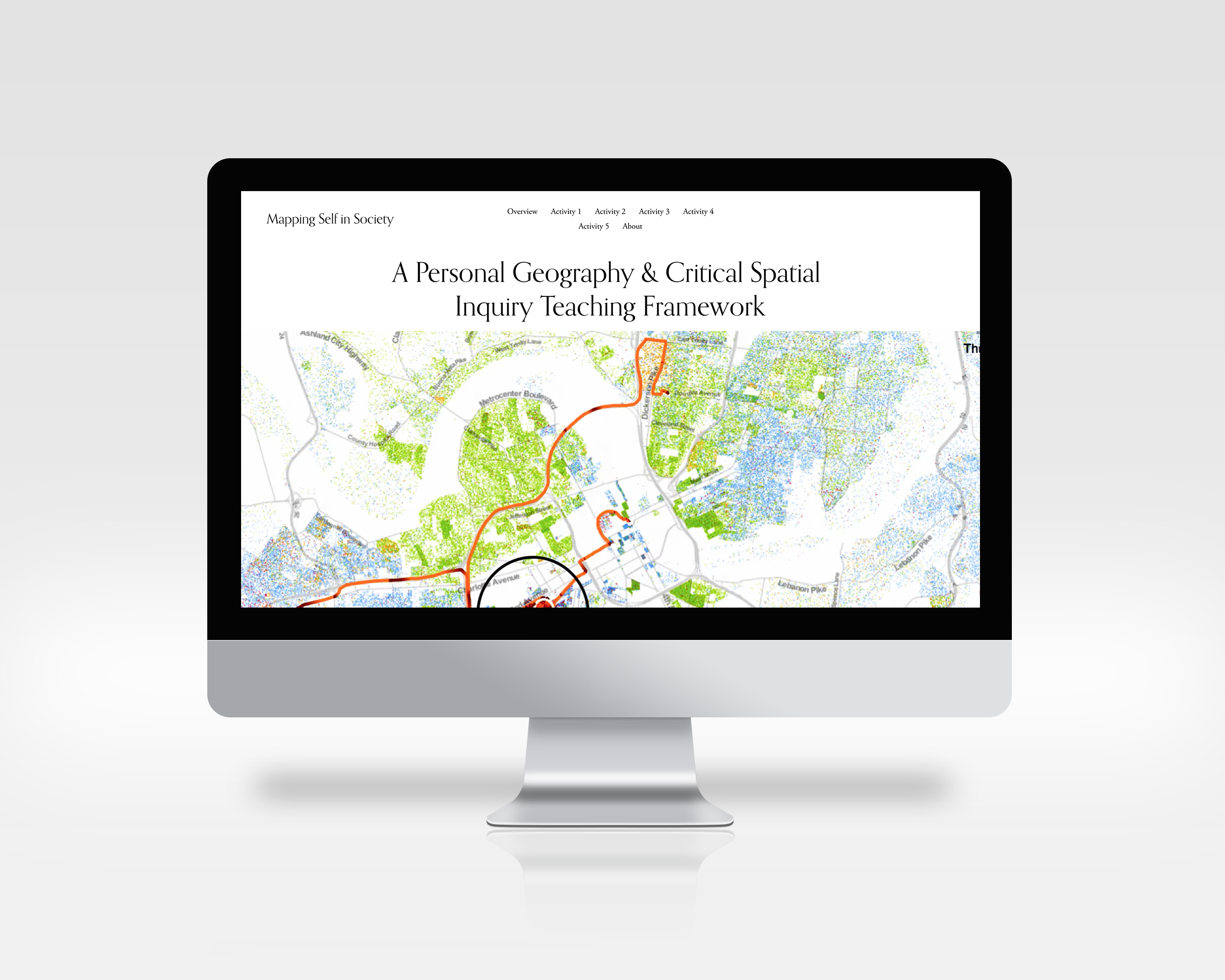
Mapping Self in Society (MaSelfS) is a framework for teaching personal geography and critical spatial inquiry. Teachers working in different disciplines such as social studies or computer science can use this framework to engage learners in activities where they learn how to use open source tools to collect and dynamically visualize their physical movement data over thematic maps to explore relations between people and the social and cultural life of neighborhoods and communities.
These activities align the experience of personal geography with analyses of society and integrate ideas in human geography with contemporary ideas about data ethics and computational analysis. The framework is also designed for researchers who are considering using new location-based technologies in ethically sensitive ways for research about public history, critical spatial and computational analysis of human geography, and design studies of learning on the move.
The MaSelfS website—hosted by our project lead Ben Rydal Shapiro—brings together free, open source tools for gathering data on personal mobility, structuring these data to explore the “daily round” of personal experience at community scale, and visualizing personal geography over time and thematic maps created with larger data sets in these communities. Sections of the website are organized as a sequence of 5 activities that are summarized below. Concepts and tools introduced in each activity can be used separately, or recombined to create novel forms of teaching or research.
Support
This work is generously supported and made possible by The Spencer Foundation and the National Science Foundation.
A collaboration between researchers and teachers at Georgia State University, the Space, Learning & Mobility Lab, and the Spatial Analysis Research Lab at Vanderbilt University
